This is my second year participating in the
Trails Challenge by the
East Bay Regional Parks District. Last year I did not complete the
2012 Trails Challenge because of impeding travel and sickness, so this year I'm making sure not only to complete the minimum five trails required but I'm going for the Marathon Challenge, completing 26.2 miles of listed trails by the EBRPD, of course with my toddlers in tow.
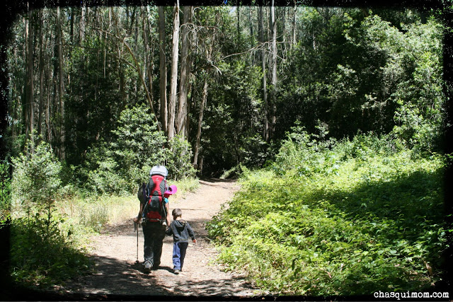
Last week, I was able to enjoy a beautiful weekday hike with my children and my two friends, Lorena and Lucy at
Tilden Regional Park, Berkeley, CA. If I hike during the week, I pick easy flat short trails because I'm usually alone with my children but since I was going to two other adults I thought this hike would be more adventurous.
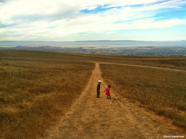
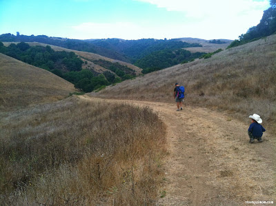
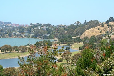
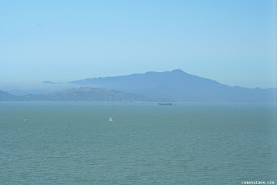
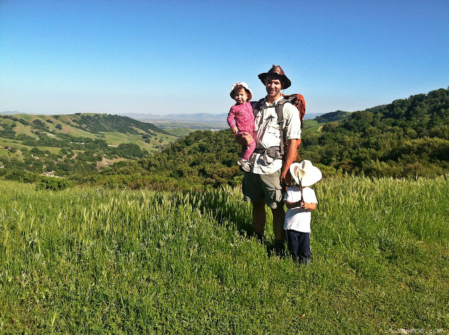
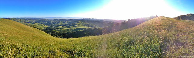
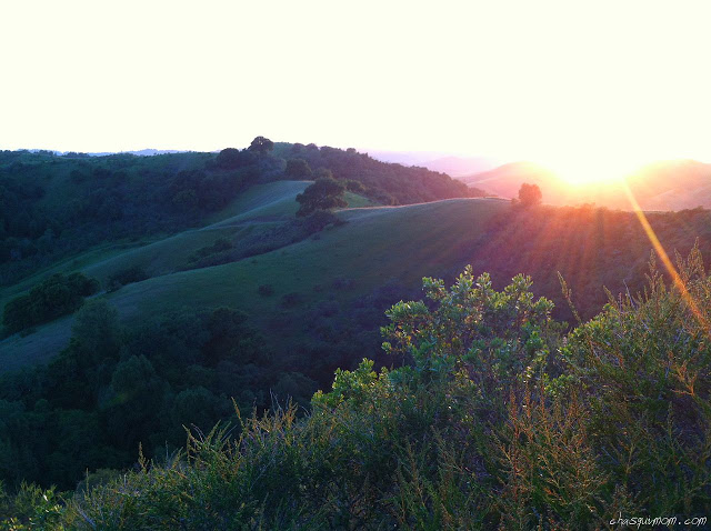
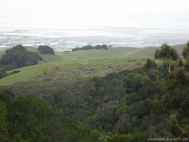
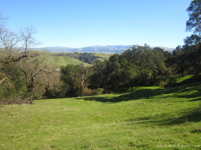
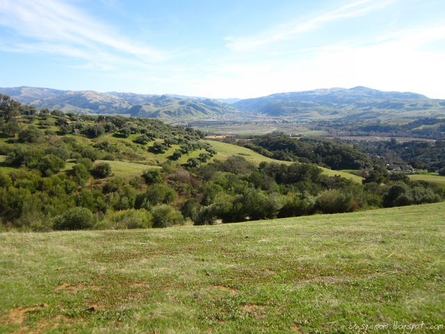
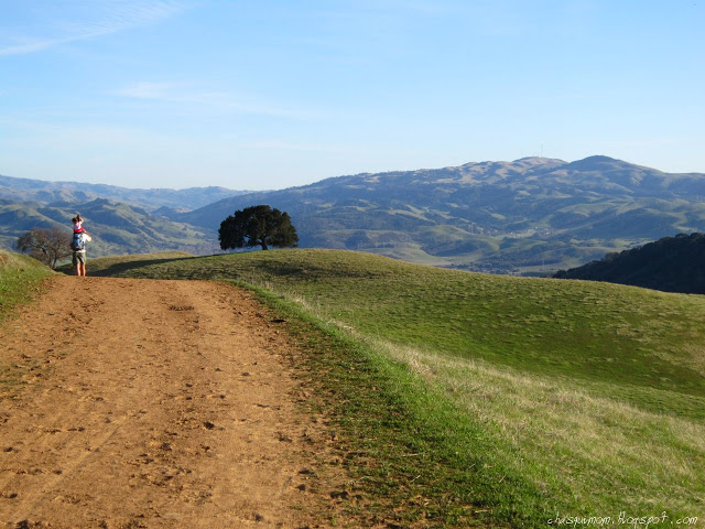
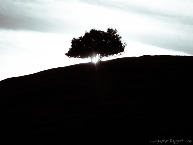
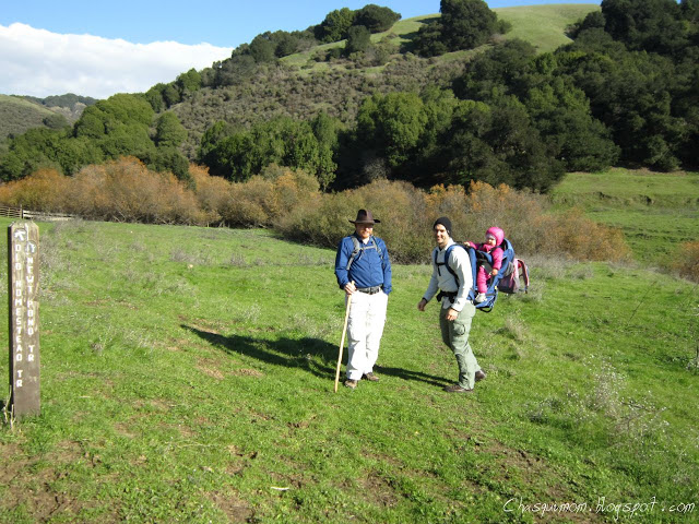
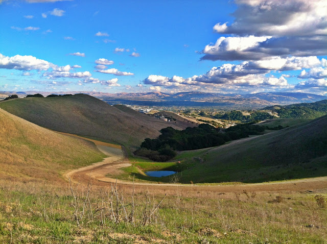
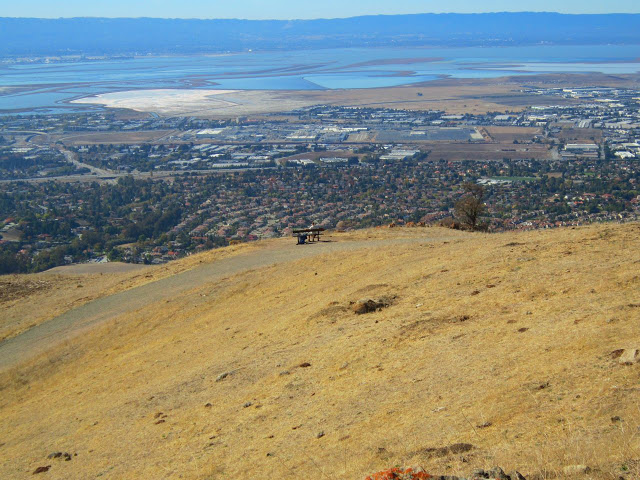
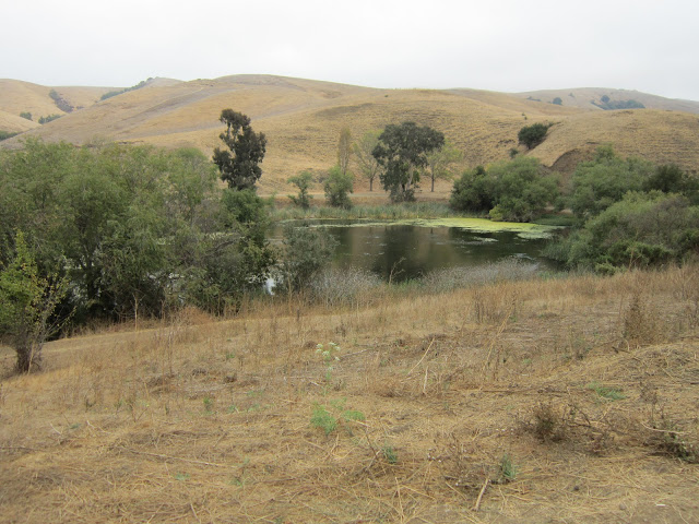
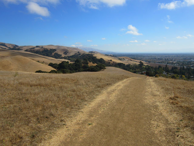
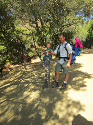
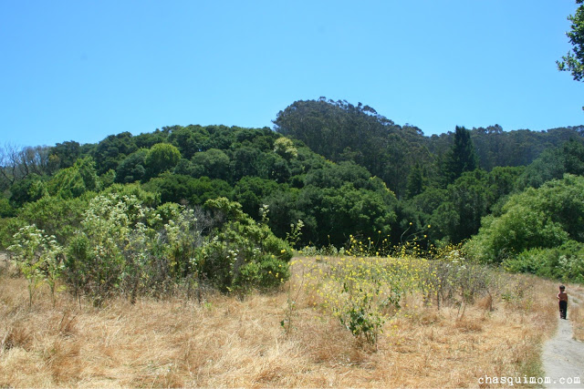
This hike started at Inspiration Point, which looked over the golden East Bay hills.
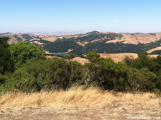 |
| Inspiration Point, Tilden Regional Park |
I thought there would be a giant sign screaming "Inspiration Point", but there was a small information board which I couldn't read because my kids were trying to run into the parking lot so I asked a someone if we were at Inspiration Point and he said, "Of course! That's why you're inspired!" and smiled. He probably saw my frantic attempts to stop my kids from running in to the parking lot...
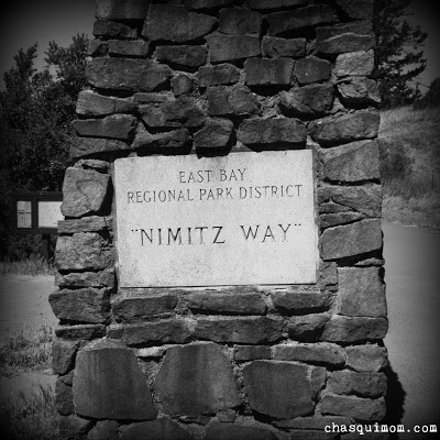
We located the information kiosks and retrieved our park maps and headed to the trail-head which started on Nimitz Way. Within two minutes of our hike, my son started crying for his flashlight which was in the car. Thankfully, Lorena and Lucy watched the kids while I ran back to the car to get David's precious flashlight. During my little jaunt back to the car I had my "revelation" of the
Toddler Hiking Cycle, check it out when you have a chance.
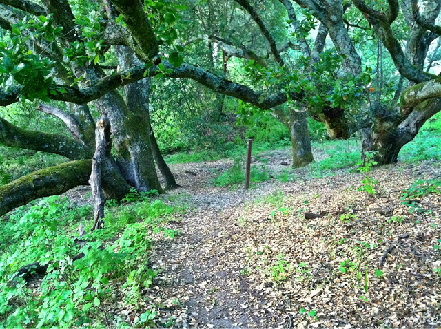
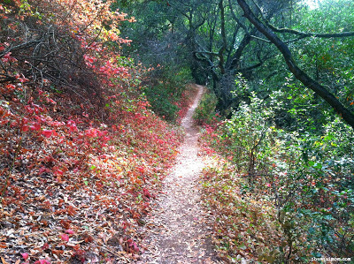
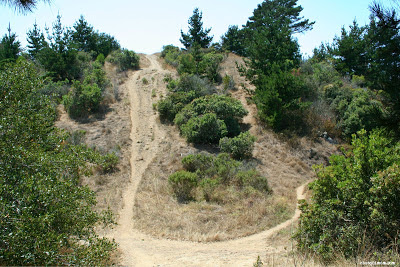
We really didn't hike on Nimitz Way, since it's a paved bike trail but we had to go through it to reach Curran Trail where our hike actually began. It was a quick descent on Curran Trail for 0.13 miles before we took a quick right on Meadow Canyon Trail for 1.43 miles. I didn't know that the intersection of the Four "Famous" Trails was actually at the Curran/Meadow Canyon Trail intersection, but we will get there soon enough.
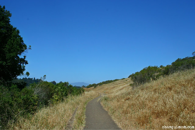 |
| Meadows Canyon Trail |
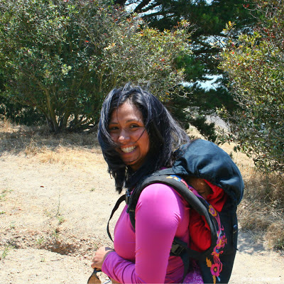
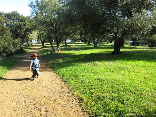
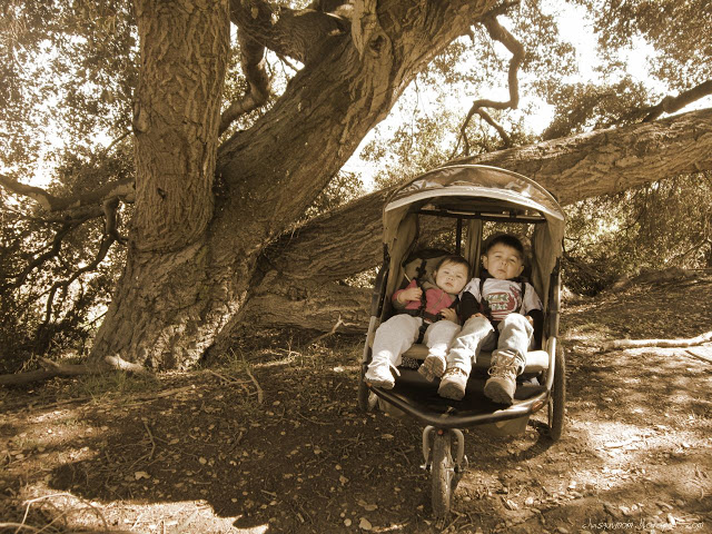
Meadow Canyon Trail was mostly exposed slight downhill trail, with patches of shaded areas. It was the perfect down hill trail that helped my toddlers hike most of the way. I was considering bringing my double jogging stroller but I was not sure the trail would be wide enough or the terrain would be to rough for a stroller. I brought my Deuter Kid Carrier 1 to carry my 21 month daughter and hoped my three year old son would hike most of the way. I don't like hiking with our stroller but take it when I'm by myself with the kids.
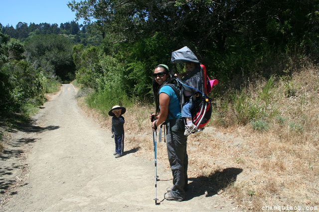 |
| Meadows Canyon Trail - My son is wearing my hat.... |
My son was still feeling a little run down from a cold and was complaining a little bit to be carried. Lucy was kind enough to give my son a piggy back ride to the halfway point which was only 10 minutes away. I know my son had it in him to keep walking but he was already on the "edge" after the earlier "almost" meltdown. Once we reached the halfway point at the intersection of Meadows Canyon and Wildcat Gorge Trail a.k.a Lone Oak Picnic Area, we all had snacks and took a break. There was a water fountain, toilet pit restrooms, picnic tables and benches at Lone Oak.
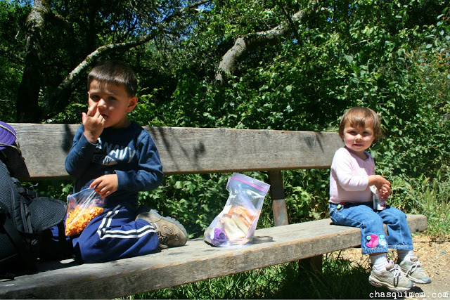 |
| The kids ate Lorena's snacks! |
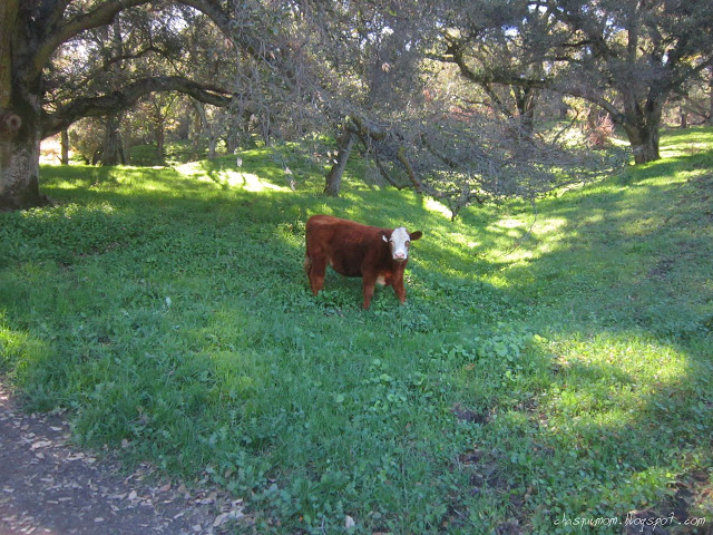
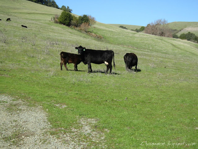
There was even a water bowl for dogs at the water fountain, a very dog friendly park. Throughout our entire hike, there were lots and lots of dogs. Some were hiking their owners but the majority were dog packs with professional dog walkers. My daughter was thrilled to see so many dogs at Tilden, this is a girl who played with street dogs in Mexico since she was nine months old, true story. On the other hand, my son was NOT thrilled with the amount of dogs. He's terrified of any dog that is not our two Shih Tzu's, even if they are tiny. We had to pick my son up or block him from the dogs when we encountered them on the trail which also did not encourage him to hike.
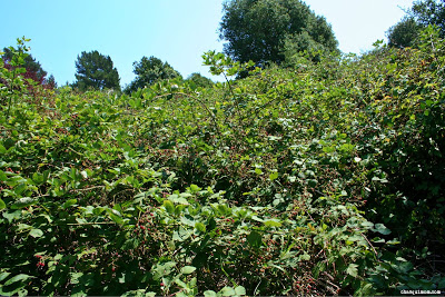
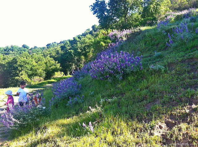
My friends (who do not have children) got to experience a full on meltdown courtesy of my daughter when she did not want to leave the water fountain at Lone Oak. My daughter threw her hissy fit and got over it within five minutes of being in the carrier. While my daughter screamed, we started our hike on Wildcat Gorge Trail (0.78 miles) and we were quickly in a little field with hundreds of blue dragonflies. I had never seen so many before in my life and my daughter had forgotten about the water fountain and enjoyed the dragonflies as well.
 |
| Dragonfly Field! |
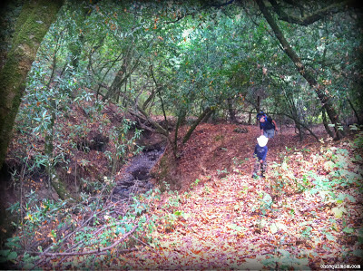
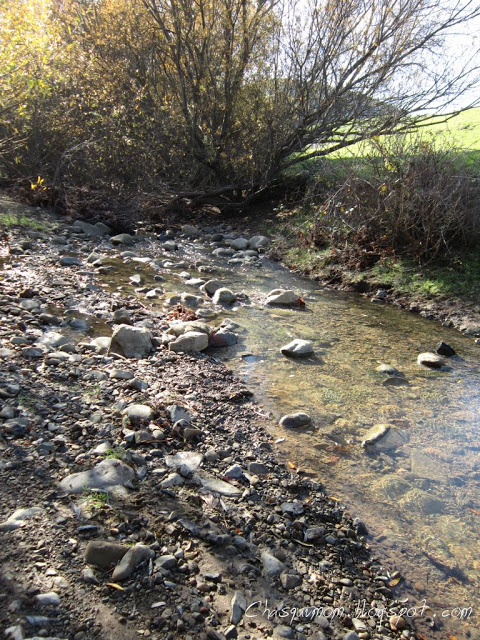
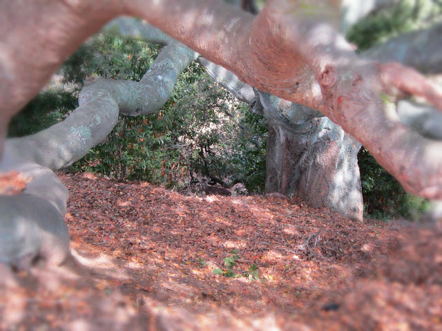
Wildcat Gorge Trail followed a creek that is designated a resource protection area for Rainbow Trout and California Newts, sadly we did not see any. Wildcat Gorge was a very beautiful "green" trail which reminded me of our backpacking trip to
Point Reyes National Seashore. The slight ascent up Wildcat Gorge was mostly shaded and easy enough for my daughter and son, it also had railings to protect the creek from dogs and people. My daughter eventually was out of my carrier and tried to climb over the railing to the creek but of course I never let her succeed.
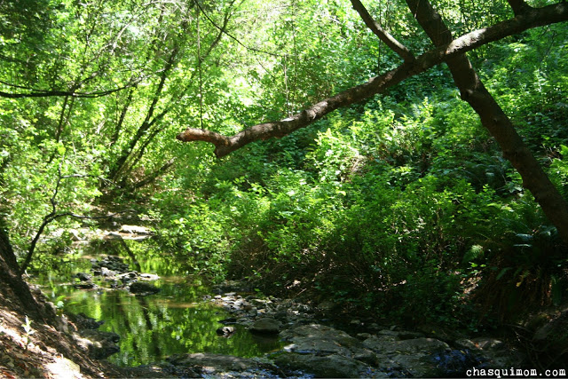 |
| The creek! |
 |
| Creek from Lake Anza |
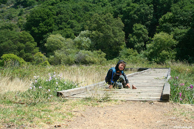
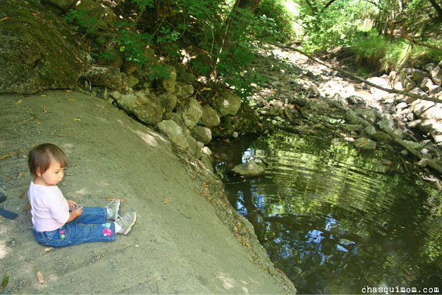
We took another break at the intersection of Wildcat Gorge and Curran Trail. My kids happily threw rocks and of course my son was eventually splashing in the water getting all wet. We only had 0.75 miles left to hike on Curran Trail, so I didn't mind if he got a little wet. We debated whether going on to Lake Anza but I didn't know if I could handle another meltdown at Lake Anza knowing that my daughter would have a meltdown leaving the creek. We opted not to go (next time...) and headed up Curran Trail. My daughter had a longer hissy fit this time but eventually calmed down and fell asleep.
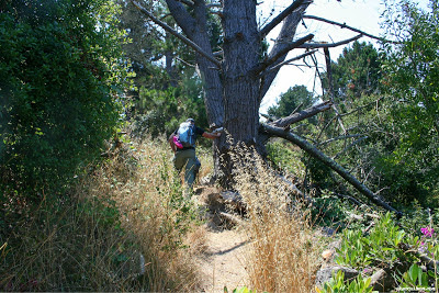
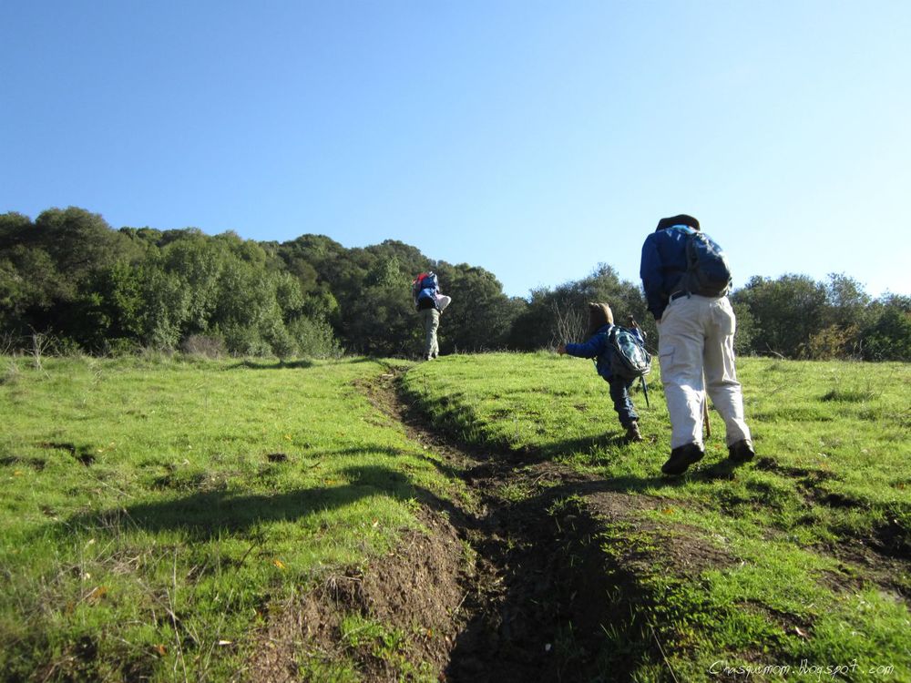
This section of Curran Trail was very shaded with Eucalyptus trees that made cracking sounds all the time, so I was a little paranoid about the branches breaking off since I've been warned by EBRPD rangers before. My son was Lucy's hiking partner most of the trip and I with my daughter and Lorena. We had good conversations and Lorena told me that Tilden's landscape reminded her of her country's landscape, El Salvador. It made me happy and sad that I could show her a little bit of her "home" country here in the Bay Area.
 |
| Somewhere on Curran Trail |
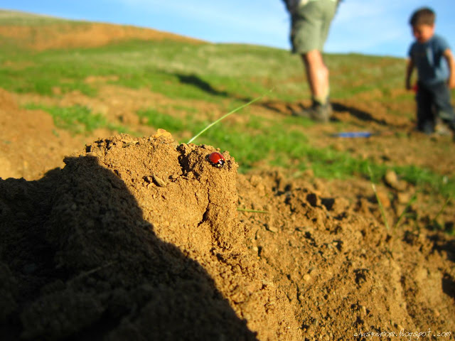
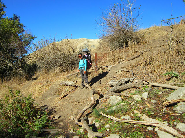
The nice thing about hiking with friends vs. hiking alone, is that I get to show up in the pictures! My son was struggling by this point and he needed his mommy, so we switched hiking partners and my little boy hiked with me. I will take it until the day he doesn't want to hang out with mommy. All throughout the day there was poison oak along the trail but this section of Curran Trail had an absurd amount of poison oak, so I held my son's hand so he wouldn't jump in it!
 |
| Tilden "El Salvador" Regional Park |
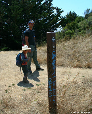
We arrived at the Four "Famous" Trails intersection again and this time I knew we were there. This is where the
American Discovery Trail,
Bay Area Ridge Trail,
Mokelumne Coast to Crest Trail and the East Bay Skyline National Trail intersect. I spent a few moments explaining to Lorena about the trails and we were both excited to take pictures at the trail marker. I was so excited I slipped and fell down with my daughter in my carrier! My daughter did not even wake up with my tumble but I did give Lorena a scare!
 |
| Four "Famous" Trails |
 |
| Before the fall! |
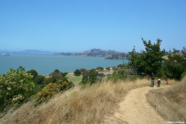
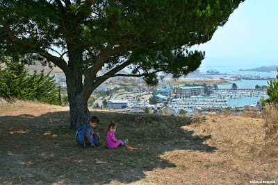
Lucy did me the favor again and gave my son a piggy back ride for the last 10 minutes back to the parking lot. We did a few more photo shots of the view at Inspiration Point before we headed home. I think I need approximately two more short hikes or one longer hike to reach the Marathoner Challenge but Tilden Regional Park was my 5th park on the Trail Challenge list so my challenge is complete!
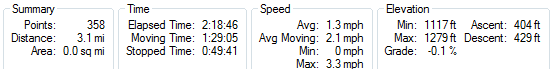
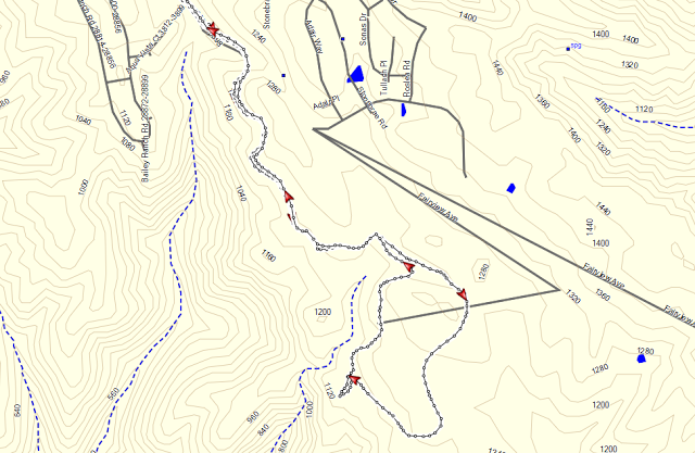
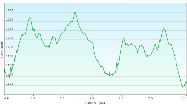
TRAIL REPORT
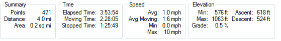
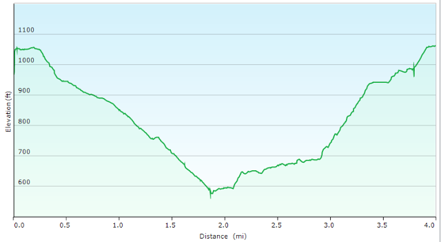
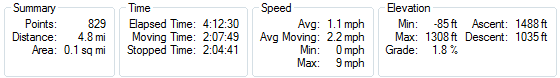
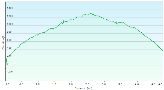
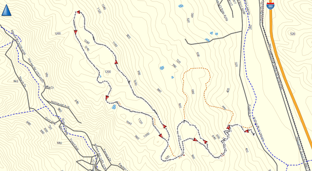
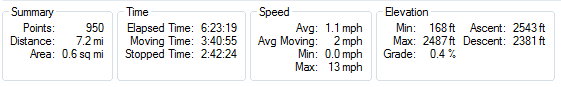
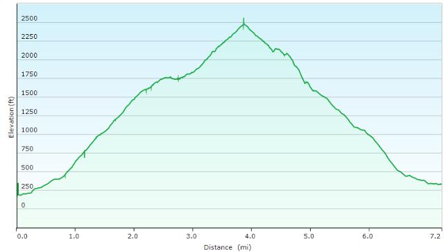
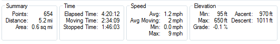
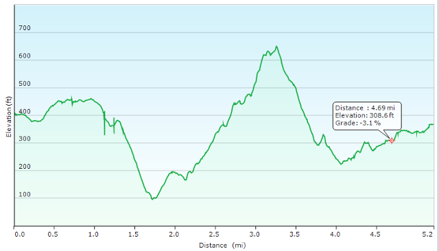
The trail loop is listed at 3.1 miles, but as always with extra running around with the kids we made it a 4.0 mile hike, in almost 4 hours or average 1.0 mph.
Elevation change of about 500 ft over 4 miles.
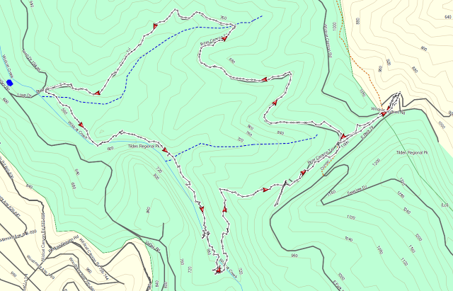
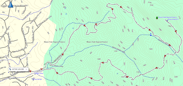
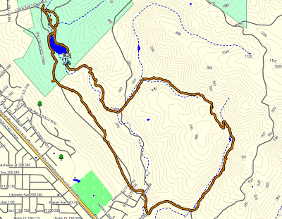
Inspiration Point - Nimitz- Curran - Meadows Canyon - Wildcat Gorge - Curran Trail
Related Posts:

 This is a sponsored post by East Bay Regional Park District. As always these are my true and honest opinions.