

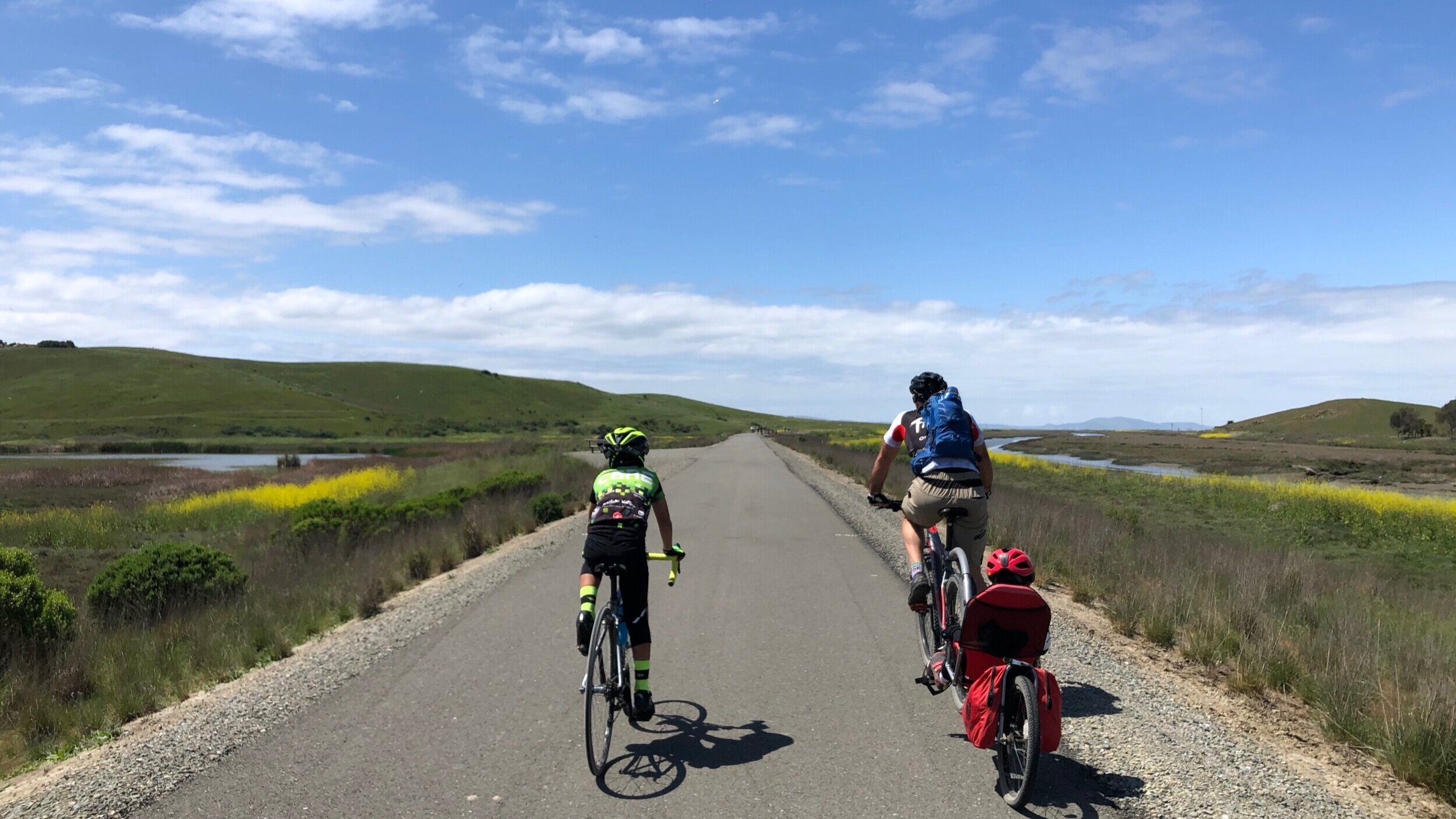
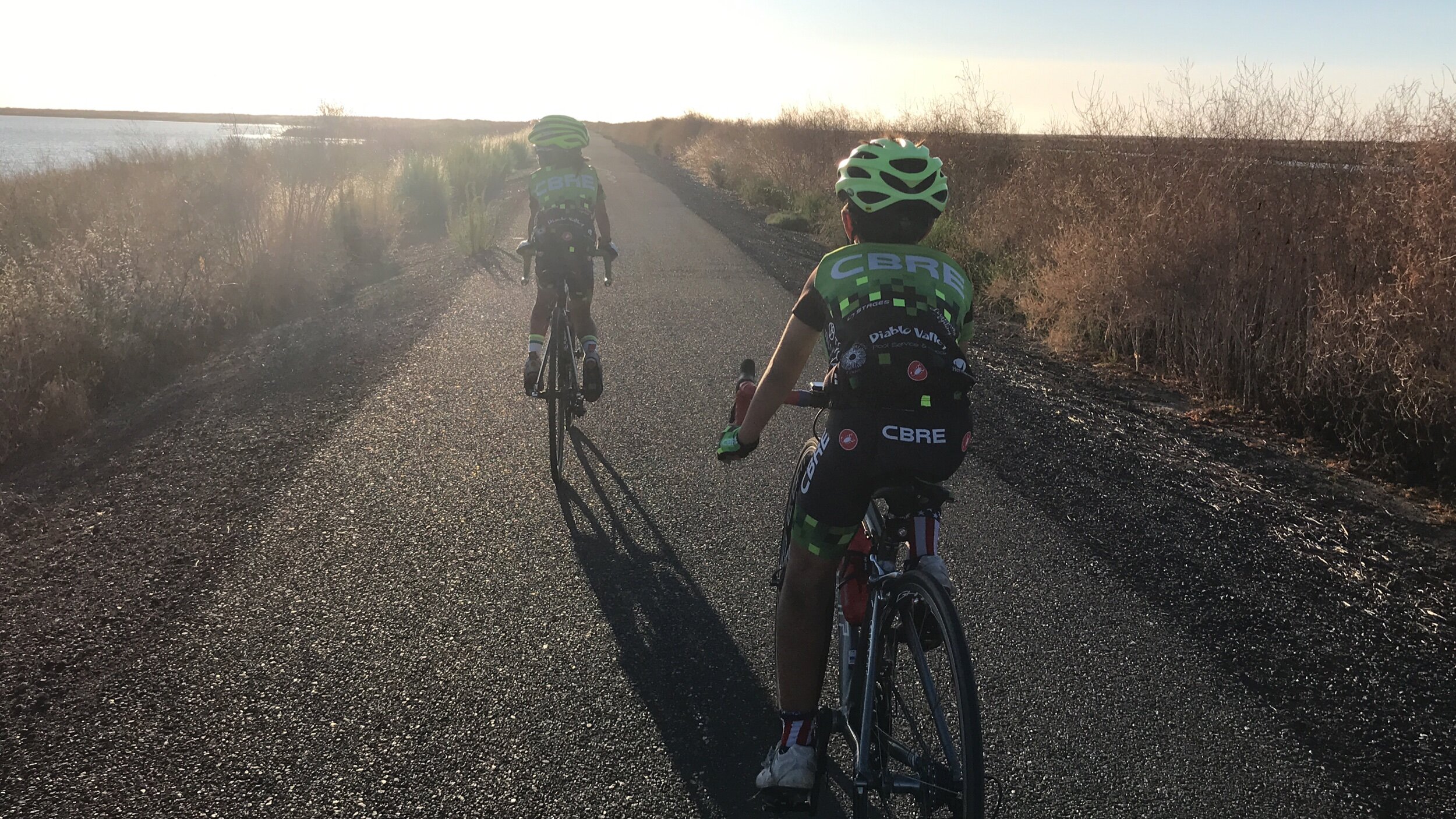
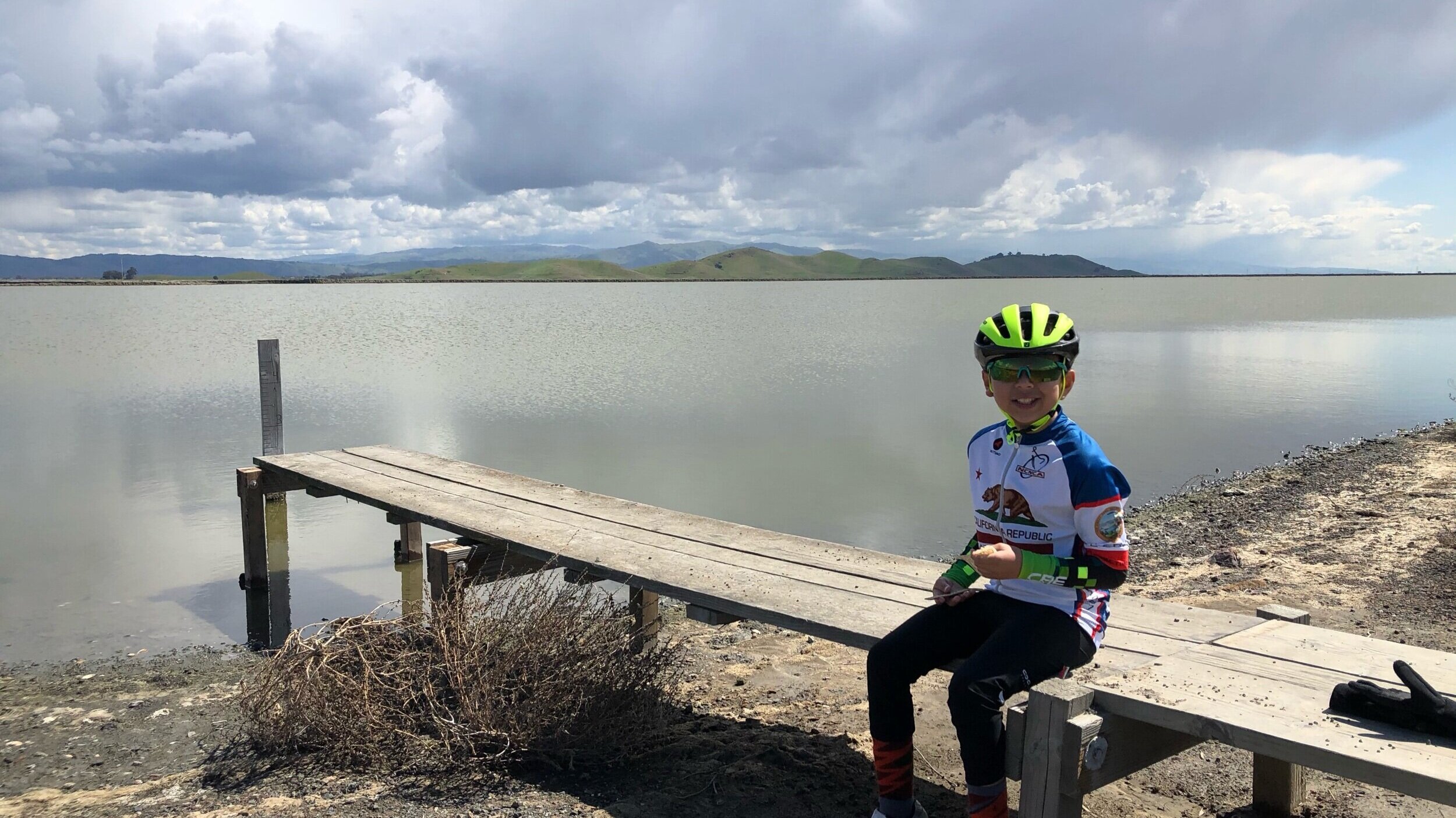
Alameda Creek Regional Trail also known as “The Creek” is a 12 mile flat trail that pretty much starts near the Vallejo Mill neighborhood of Fremont that ends at the San Francisco Bay near Coyote Hills. This trail follows Alameda Creek as it flows through Fremont and Union City and is used by many families on a daily basis.
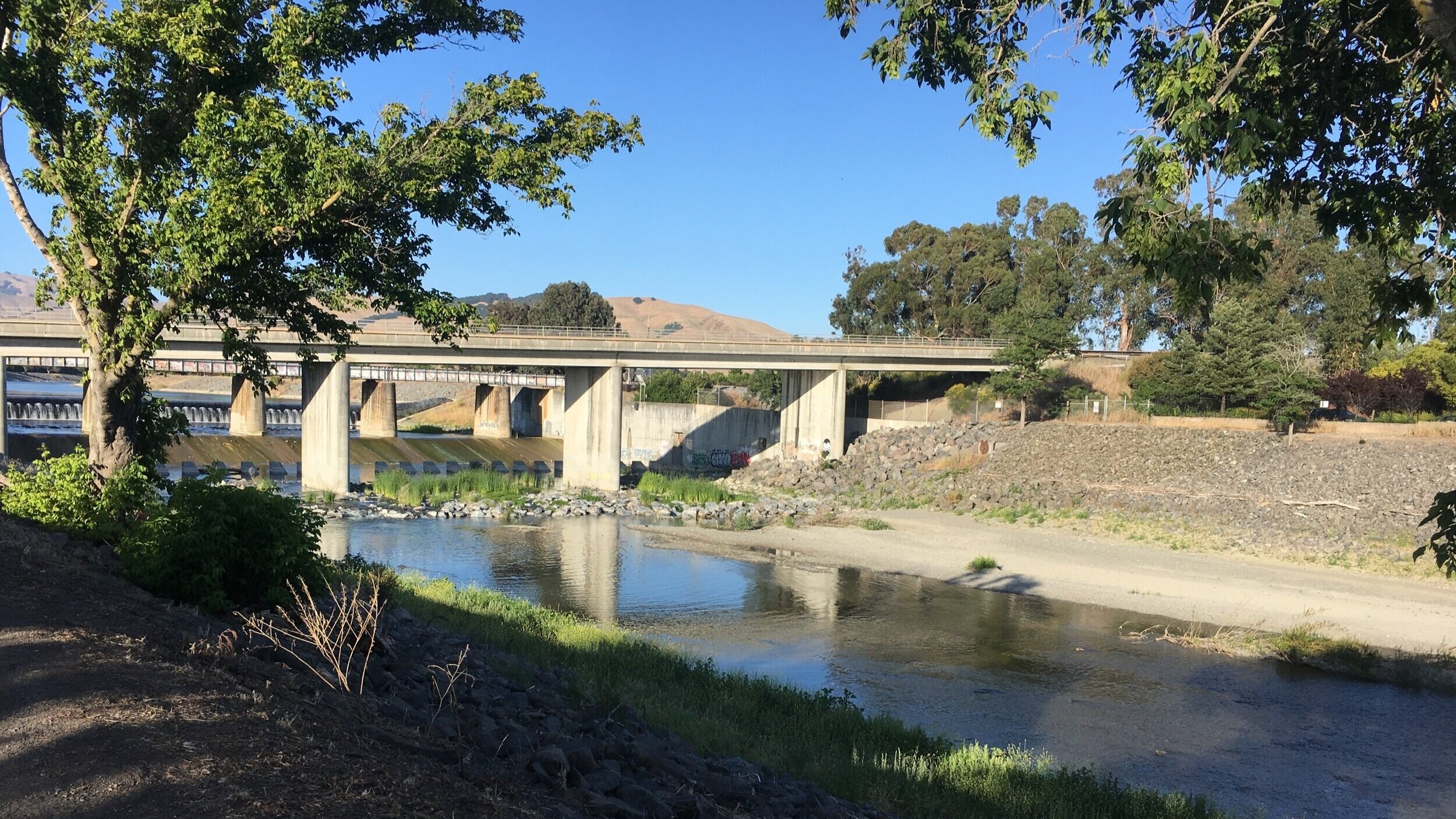
Even though many families use this trail, I introduce this regional trail to new families all the time and its a great connector trail to other parks like Niles, Quarry Lakes, Coyote Hills, local city parks and can be used to get to different parts of Fremont and Union City. Even though The Creek is a creek, in the winter it becomes a very steady flowing river and and it has wildlife in all year long and even an elusive Bald Eagle roams the trail. Before fire season starts you can also enjoy all the goats eating the vegetation in the almost dry creek.
TRAIL SUGGESTIONS
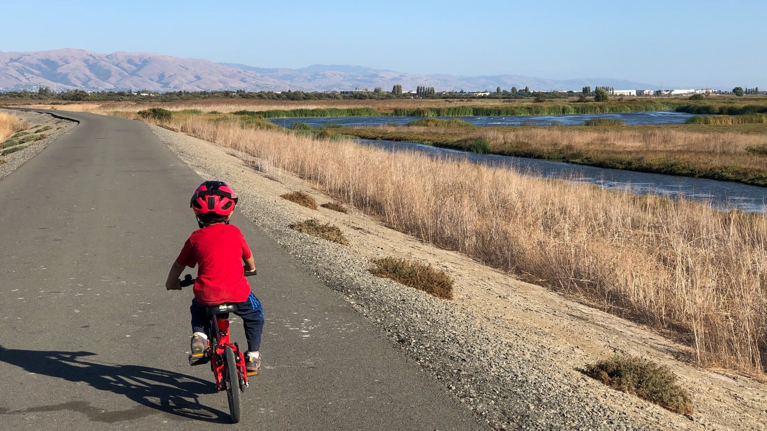
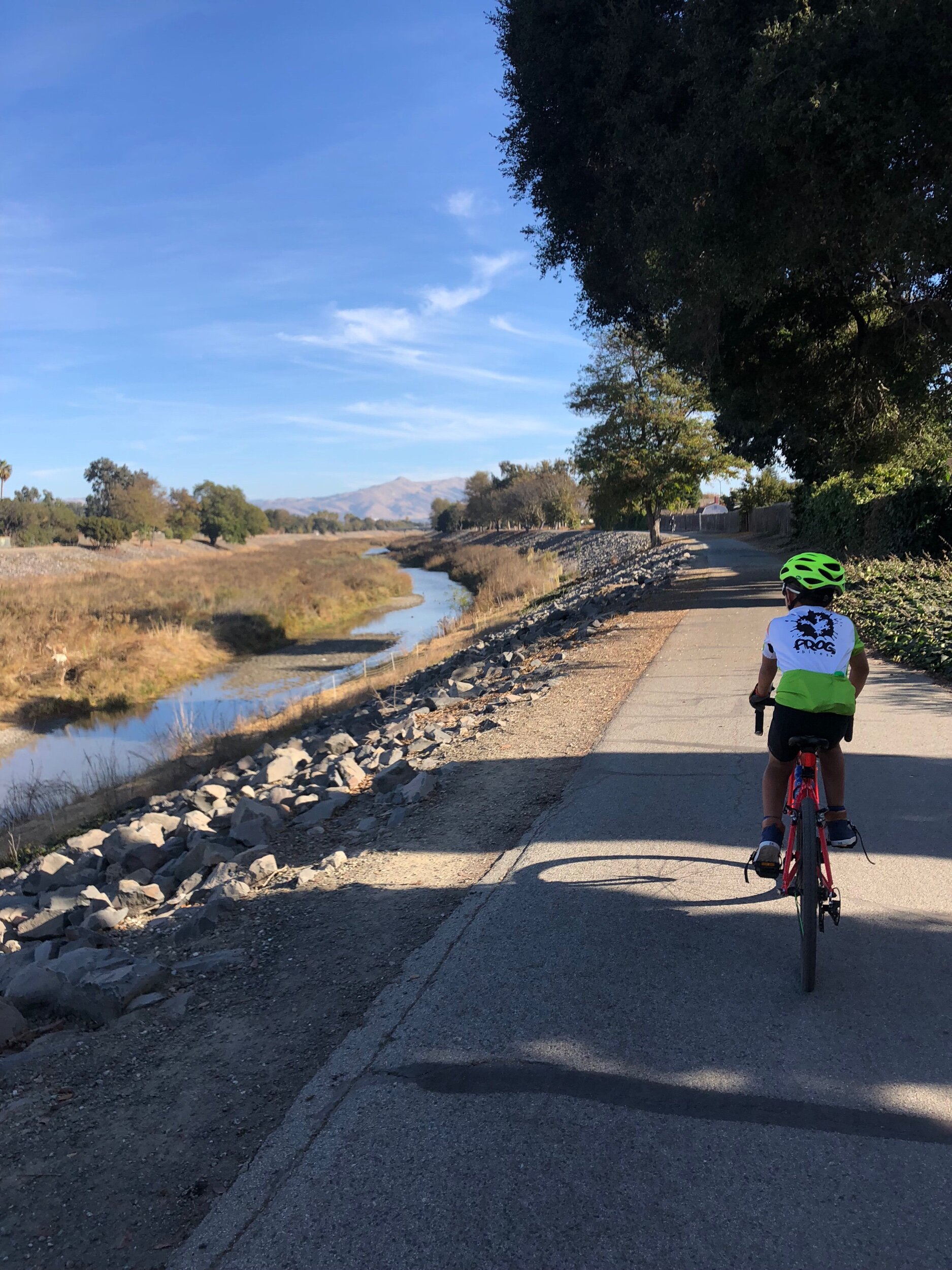
For Beginners: The whole trail is easy enough even for beginner riders. There are two sides to the Creek - paved and dirt trail with a few crossings to each side. Make sure which side you want to ride on because the crossings a far in between. The majority of the trail on either side is wide and flat, except the paved side it has “dips” underneath the bridges that might be a little challenging for little children. I prefer to ride on the dirt side (north side) because there are slower dips and I still have a toddler on a bike that doesn’t have great bike control.
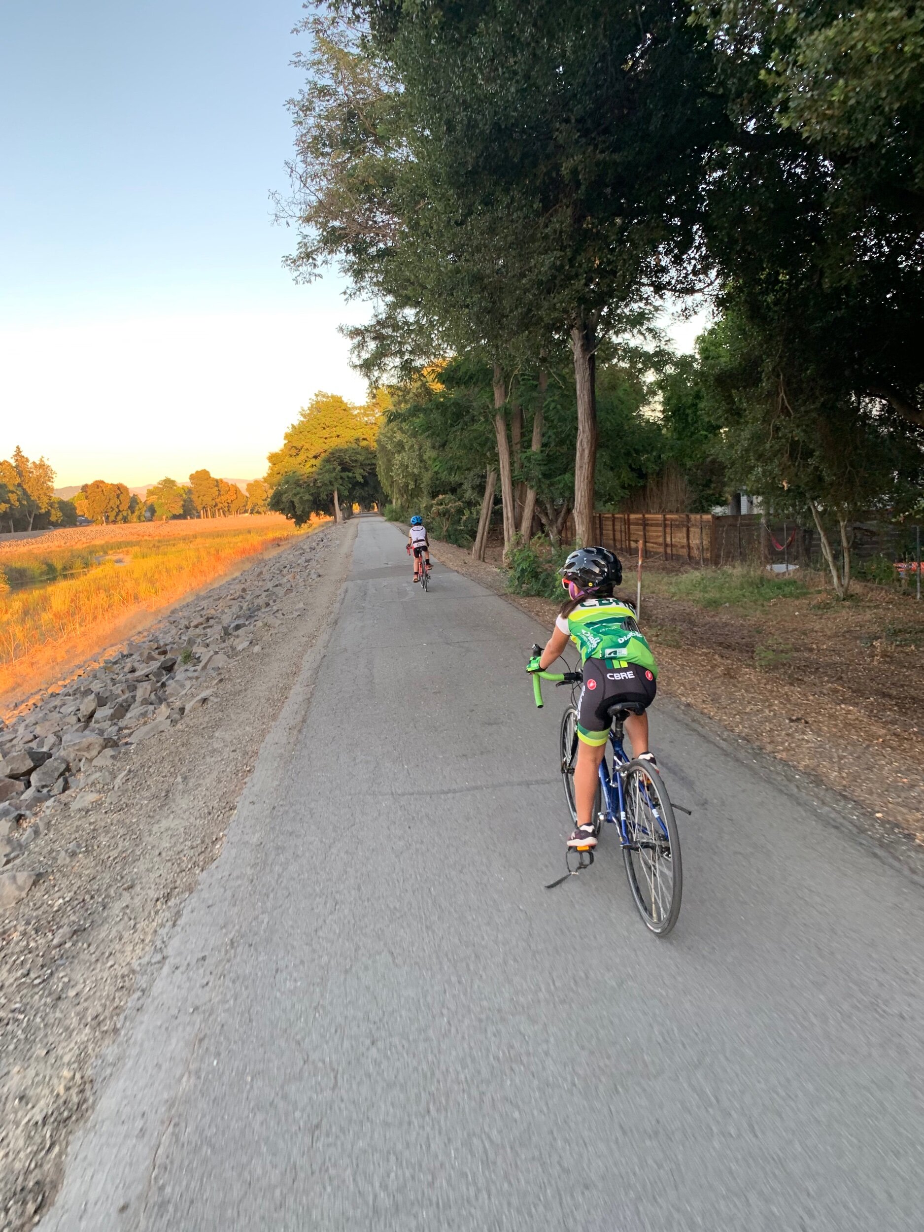
More Challenging: The only way to make this trail challenging is to ride the entirety of it on a windy day! My 10 year old son has been able to ride the whole Creek 22 miles (Approx. 11 miles one way). If you want to avoid the wind, check the weather and go earlier in the day.
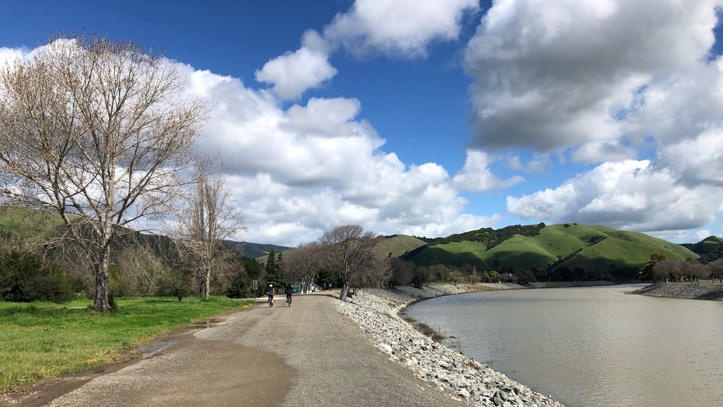
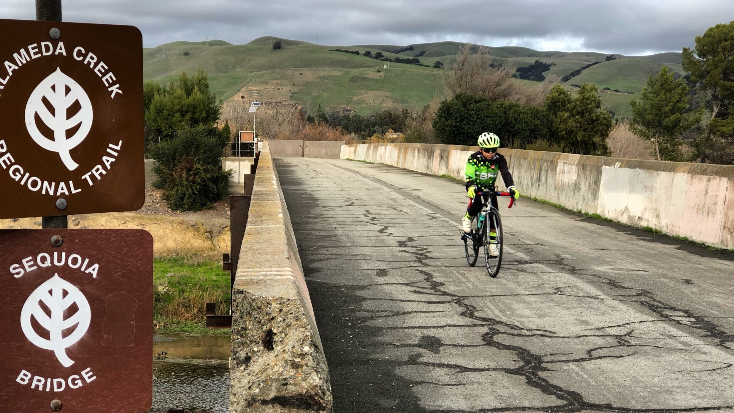
Getting There: There is no visitor center for Alameda Creek but there are many access points along the trail. My “go to” entrance point is at Niles Staging Area near Old Canyon Rd for the paved side. I also like entering at the Alameda Creek Staging area (Union City) for the dirt side of the Creek. For the trail map please visit Alameda Creek Regional Trail map.
Park Facilities: Depending on where you enter the Creek, there is water and bathrooms along the way as well as many access points to to Quarry Lakes, Niles and other city parks where you might find bathrooms, food and water and coffee but I still always bring my own water. There is no fee to get on this trail and there is cell service along the entirety of this trail.
DUE TO COVid-19, PLEASE CHECK EACH Park website FOR TRAIL CLOSURES AND IF BATHROOM/WATER FACILITIES ARE AVAILABLE. REMEMBER To PACK OUT YOUR TRASH.
You can also join in on my Social Media, which is updated daily with outdoor activities. Join in on the conversation by leaving a comment below!